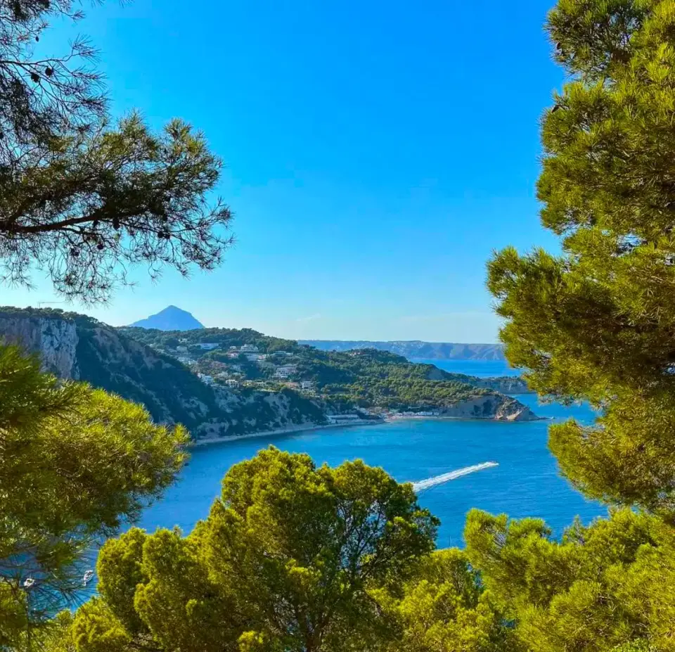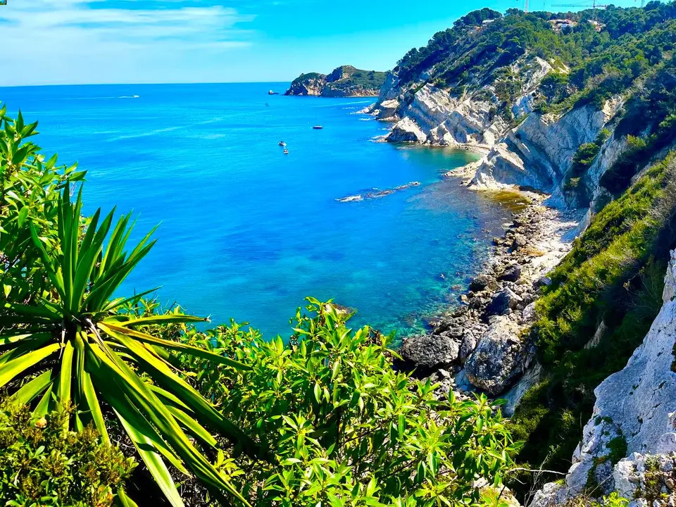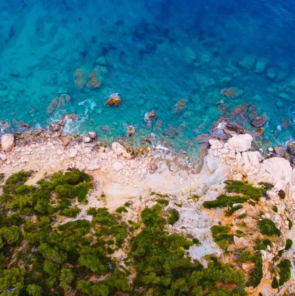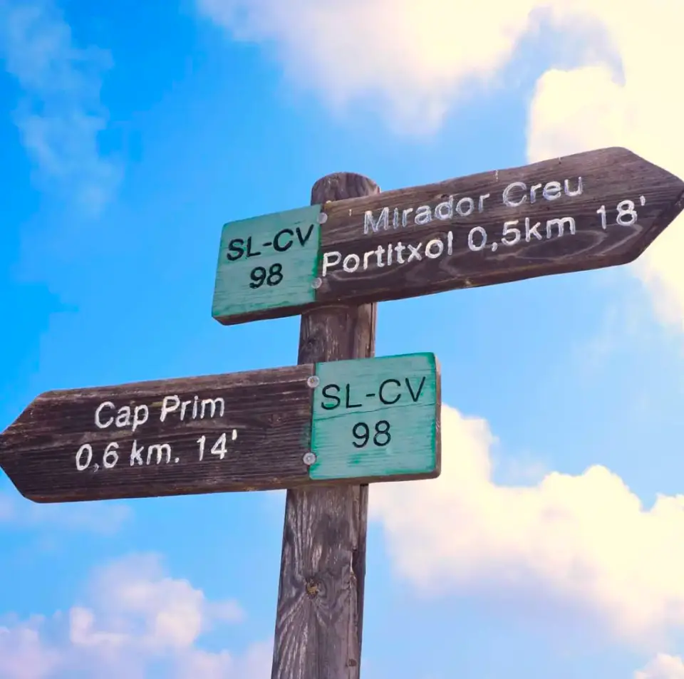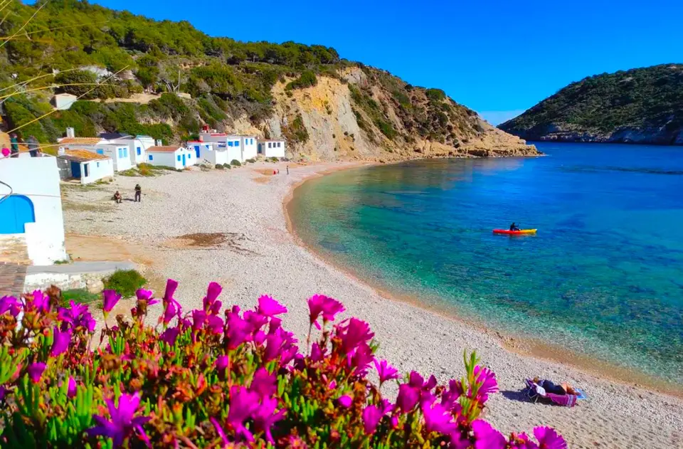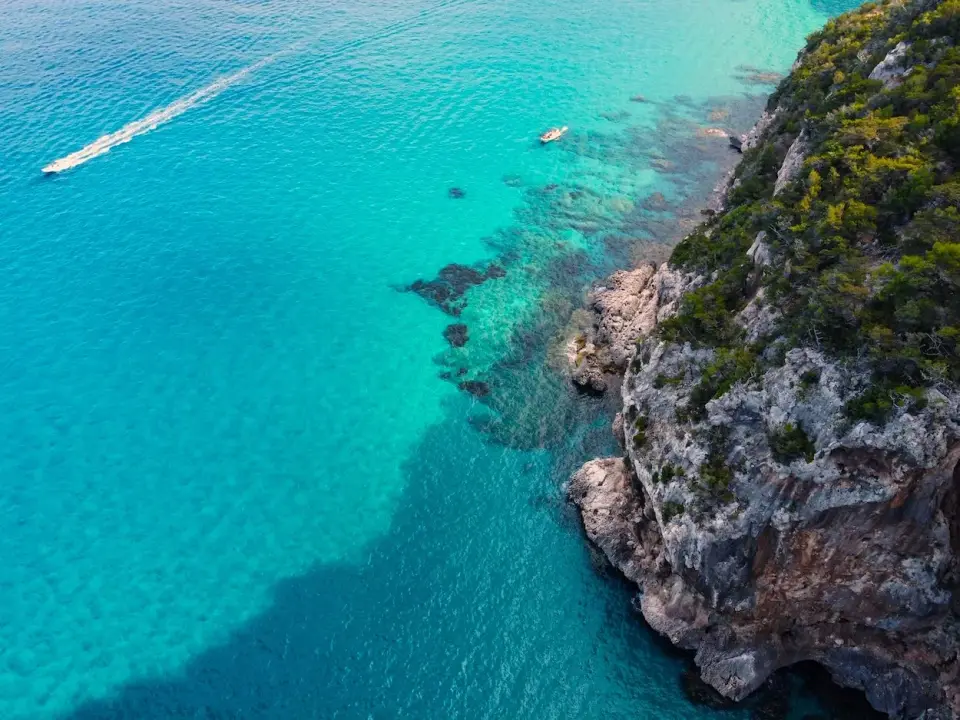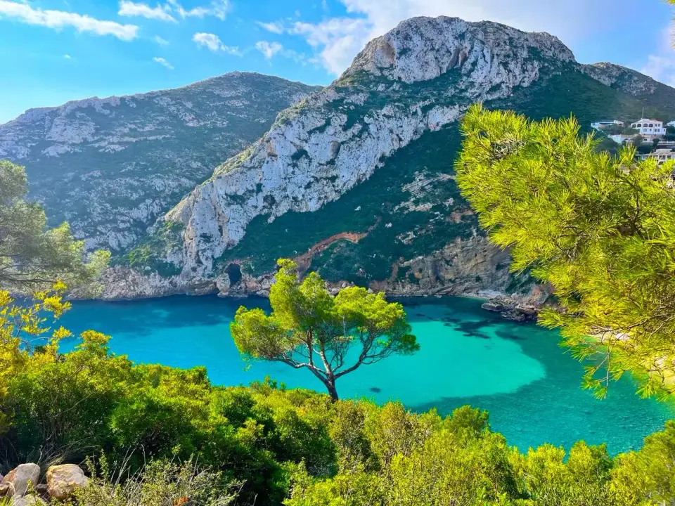
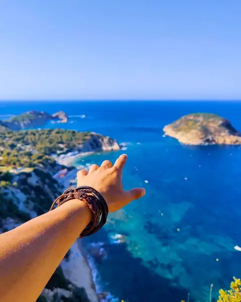
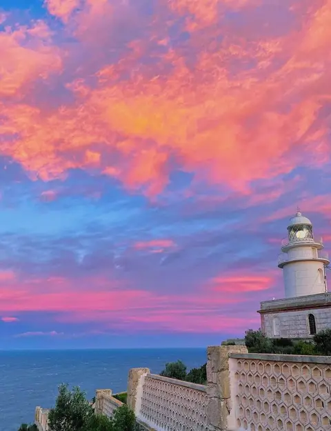
The coast of Jávea seen from a mirador
Ruta dels Miradors · 15 official viewpoints · 6 km of coast as the gull flies

The 15 miradors of Jávea

From the lighthouse on the Cap de Sant Antoni to the pinewoods above Granadella, the town's official viewpoint route strings together the best views on the Costa Blanca. Every one of them, mapped, with how to get there, where to leave the bike and when the light is best.

The map

All 15, north to south

Tap a number for the photo, the story and directions.

Aerial imagery PNOA cedido por © Instituto Geográfico Nacional de España · offshore gaps Sentinel-2 cloudless © EOX · CC BY 4.0

Numbers follow the official route order. The dotted line is that order, not a road: between stops, follow the coast road. Wedges show which way each balcony looks.
One by one

Every mirador, with the practical bits

All 15 miradors, north to south

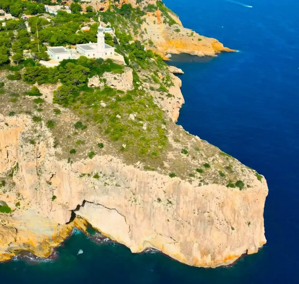
1Cap de Sant Antoni

Cap de Sant Antoni

Mirador del Cabo de San Antonio · ≈160 m above the sea

The northern gatepost of the route: a lighthouse on a 160 m cliff with the whole bay of Jávea laid out beneath it.

The view
The whole bay of Jávea: port, Arenal, Cap Prim and the Illa del Portitxol; Sierra de Aitana and Ibiza on clear days.
Getting there
Take the road up from the town to the lighthouse (signposted Cap de Sant Antoni / Far); the mirador is beside it. Walkers can climb the old path from the port.
Parking
Small car park at the lighthouse; fills on summer evenings.
Best time
Sunrise, or the last hour before sunset when the bay turns gold.
By bike
About 5 km of steady climbing from the port, never steep. An e-bike makes it a non-event; on a normal bike take it easy and enjoy the switchbacks.
lighthousesunrisedrive-upsea view
2Els Molins

Els Molins

Mirador dels Molins de la Plana · ≈190 m above the sea

A line of stone windmill towers on the plateau above the town, with the old town, Montgó and the bay in one sweep.

The view
Old town and church, Montgó, the bay to Cap Prim and the island.
Getting there
From the Cap de Sant Antoni road take the Camí dels Molins across the plateau; a short, flat detour from mirador 1.
Parking
Lay-bys along the Camí dels Molins.
Best time
Sunset, and windy days when you feel why the mills are here.
By bike
Flat and easy once you are up on La Plana. Combine with mirador 1 in a single climb.
historysunsetdrive-upflat
3Punta de l'Arenal

Punta de l'Arenal

Mirador de la Punta del Arenal · ≈4 m above the sea

Sea level, on the rocky point at the south end of the Arenal beach, where the Romans salted fish and the bay opens up in front of you.

The view
The full arc of the Arenal, Montgó behind the town, and the Cap de Sant Antoni lighthouse across the bay.
Getting there
Walk or ride the Arenal promenade to its southern end; the mirador is on the point beyond the last restaurants.
Parking
Arenal car parks and side streets; easy outside July and August.
Best time
Sunrise over the bay; also lovely at dusk when the promenade lights come on.
By bike
Flat all the way along the seafront. The easiest stop on the route and a good place to fill bottles.
sunriseflatfamilysea view
Our adventures near here
4Séquia de la Nòria

Séquia de la Nòria

Mirador de la Séquia de la Nòria · ≈4 m above the sea

A channel cut through the rock by Roman hands, later worked by a waterwheel, on the wild rock shelf south of the Arenal.

The view
The rock shelves of the Muntanyar, the Cap de Sant Antoni to the north and Cap Martí to the south.
Getting there
From the Punta de l'Arenal follow the coastal path or the seafront road south for about ten minutes; the channel is signposted.
Parking
Roadside along the coastal road.
Best time
Early morning when the sea is calm and the channel is still.
By bike
Flat, with a short stretch of path; walk the last metres to the rock.
historyflatsnorkelsea view
5Cala Blanca

Cala Blanca

Mirador de la Cala Blanca · ≈12 m above the sea

Pale rock, turquoise water and a cove that once landed the tuna catch; the first place on the route you will want to swim.

The view
The white rock coves below, the Muntanyar and the Cap de Sant Antoni beyond.
Getting there
Coastal road south from the Arenal, or about 25 minutes on foot along the shore path.
Parking
Very limited in summer; walk or ride from the Arenal rather than drive.
Best time
Mornings for swimming; the rock glows at the end of the day.
By bike
A gentle rise from the Muntanyar. Lock the bike at the top; the steps to the water are steep.
swimsnorkelphotosea view
6Les Caletes

Les Caletes

Mirador de les Caletes · ≈35 m above the sea

Where the coast stands up: the first cliff-top balcony of the route, looking back along the whole bay to Montgó.

The view
North-west over the bay: Cala Blanca, the Arenal, the town, Montgó and the Cap de Sant Antoni.
Getting there
On the coastal road between Cala Blanca and the Portitxol, at the top of the second cove; also on the shore footpath from the Arenal to Cala Barraca.
Parking
A few spaces on the road.
Best time
Sunset, looking back across the bay towards Montgó.
By bike
Short climb from Cala Blanca; the road keeps rising gently towards the Portitxol.
sunsetphotocliffssea view
7Creu del Portitxol

Creu del Portitxol

Mirador de la Creu del Portitxol · ≈75 m above the sea

The halfway cross on the Portitxol hill, where the footpaths to Cap Prim and down to Cala Barraca begin.

The view
Glimpses of the Illa del Portitxol and Cap Prim through the pines; the views open up along the Cap Prim path.
Getting there
Up the Portitxol road from the Arenal, or along the coastal road from Les Caletes; the cross is at the junction at the top of the hill.
Parking
Difficult in summer; arrive early or on two wheels.
Best time
Morning, then walk the Cap Prim path before the heat.
By bike
The climb of the northern half: about 2 km at 6–8 % from the Arenal side. Worth it.
hikehistorypines
8L'Illa

L'Illa

Mirador de l'Illa del Portitxol · ≈55 m above the sea

The balcony over the Portitxol island: three hundred metres of rock across a strait of impossibly clear water.

The view
The Illa del Portitxol, the strait and Cala Barraca with its fishermen's cottages.
Getting there
Continue along the Portitxol road from the cross for about 300 m; the mirador is on the seaward side of the bend.
Parking
A handful of spaces; often full by mid-morning in summer.
Best time
Mid-morning when the sun is high enough to light the water turquoise; sunrise comes up behind the island.
By bike
Rolling road from the cross with a short descent; easy.
islandphotodrive-upsea view
9La Falzia

La Falzia

Mirador de la Falzia · ≈100 m above the sea

Many locals' favourite: a vertical drop to Cala Barraca and a panorama from the Cap de Sant Antoni to Cap Negre.

The view
Cala Barraca directly below; Cap Prim and the island, the bay, Cap de Sant Antoni and Montgó; Cap Negre to the south.
Getting there
From the Cap de la Nau road turn onto Carrer de la Falzia and follow it to the end; the mirador is a short walk from the last houses.
Parking
Roadside on Carrer de la Falzia.
Best time
Sunrise, when the light runs up the whole coast; clear winter mornings are sharpest.
By bike
A dead-end spur off the Cap de la Nau road, mostly flat; the climb is the main road before it.
best panoramasunrisecliffsphoto
10Cap Negre

Cap Negre

Mirador del Cap Negre · ≈120 m above the sea

A shaded cape of dark rock and pines, with fishermen's paths on the cliff and the entire coastline of Jávea to the north.

The view
The full coast to the north: Illa del Portitxol, Cap Prim, Cap de Sant Antoni and Montgó.
Getting there
Turn off the Cap de la Nau road towards Cap Negre and follow the street to the end; a short path through the pines leads to the mirador.
Parking
On the street; a few spaces.
Best time
Sunrise for the light; afternoon for the shade.
By bike
Another short spur from the main road. Combine with La Falzia in one visit.
sunrisecliffspinessea view
11Cap de la Nau

Cap de la Nau

Mirador del Cabo de la Nao · ≈120 m above the sea

The easternmost point of the Valencian coast: a lighthouse on the cliff, Ibiza on the horizon and a sea cave at your feet.

The view
Open sea to Ibiza, the Illa del Descobridor and the Benitatxell cliffs to the south, Cap Negre to the north.
Getting there
The Cap de la Nau road runs all the way to the lighthouse; the miradors are around the car park and the restaurant terrace.
Parking
Car park at the end of the road.
Best time
Sunrise and moonrise; at night the beam of the lighthouse sweeps over you.
By bike
The long climb of the day: about 8 km from the Arenal with some 200 m of gain, never steep. This is the spine of our bike tour.
lighthousesunrisecavedrive-upsea view
12Les Pesqueres

Les Pesqueres

Mirador de les Pesqueres · ≈100 m above the sea

Named after the cliff fishermen who lowered themselves on ropes to cane platforms above the sea; the lighthouse in profile.

The view
The Cap de la Nau lighthouse on its cliff, the Illa del Descobridor and the cliffs of the pesqueres.
Getting there
From the Cap de la Nau road take Carrer Pau Casals, then Carrer Joaquín Turina, to the end.
Parking
Roadside.
Best time
Late afternoon, when the lighthouse is lit from the side.
By bike
A short, mostly flat spur through the villas; two minutes from the main road.
historylighthousecliffs
Our adventures near here
13Ambolo

Ambolo

Mirador de l'Ambolo · ≈90 m above the sea

A 16th-century watchtower, a closed cove far below and the Illa del Descobridor sitting in the sea like a ship.

The view
The Illa del Descobridor and Cala Ambolo below, the Cap de la Nau to the north-east, Moraira and the Benitatxell cliffs to the south-west.
Getting there
From the Cap de la Nau road take Carrer Torre d'Ambolo (signposted Cala Ambolo) to the mirador above the cove.
Parking
A few spaces at the mirador.
Best time
Sunset, with the light along the cliffs towards Moraira.
By bike
Short descent from the main road and a short climb back; nothing hard.
sunsettowerislandsea view
Our adventures near here
14Castell de la Granadella

Castell de la Granadella

Mirador del Castillo de la Granadella · ≈100 m above the sea

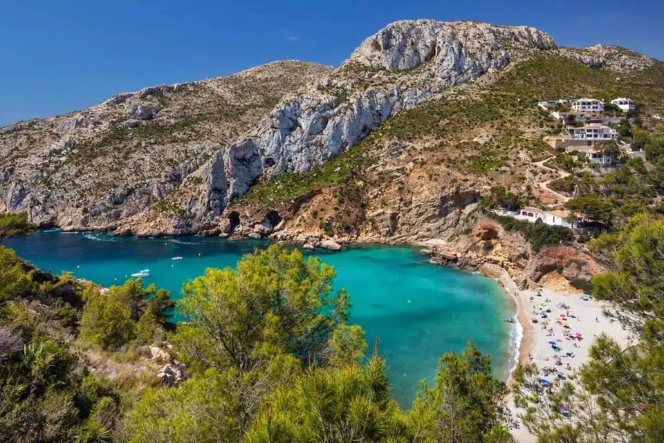
The whole bowl of Cala Granadella seen from the road above it, with the ruined coastal fort guarding the far headland.

The view
Cala Granadella from above: beach, headlands and the ruined fort on the Morro del Castell.
Getting there
On the Carretera de la Granadella, the road down to the cove from the Cap de la Nau road; the mirador is on a bend before the beach.
Parking
At the cove, but in high summer the road closes to cars once the car park is full and a shuttle bus runs from the top. Bikes can always go down.
Best time
Morning, when the sun is on the water; the cove faces east.
By bike
A fast descent to the beach and a stiff climb back out (about 2.5 km at 7–8 %). Save some legs, or take an e-bike.
coveswimhistorysea view
15Granadella

Granadella

Mirador de la Granadella (Parc Forestal) · ≈142 m above the sea

The odd one out: an inland balcony at 142 m in the Granadella forest park, looking over ravines and pinewoods rather than the sea.

The view
Ravines and pinewoods of the forest park, the hills inland and glimpses of the sea.
Getting there
Forest tracks from the Granadella road, signposted to the park; the mirador is on the upper track.
Parking
At the park entrance off the Granadella road.
Best time
Spring for the wildflowers; any clear day in winter.
By bike
Gravel tracks: fine on a mountain bike or e-MTB, not for road bikes. Ask us for the best line.
forestmtbinlandspring
Plan your ride

Three ways to split the route

Miradors 1–2 · Cultural Route

The north

Half a day

Climb from the port to the lighthouse of the Cap de Sant Antoni, roll across La Plana to the windmills, and freewheel back into town. About 12 km with one real climb. Do it late: both balconies are at their best towards sunset.

Miradors 3–8 · City Route

The bay

Half a day, swims included

Flat along the Arenal promenade, then the coast road past the Séquia de la Nòria, Cala Blanca and Les Caletes to the Portitxol hill: the cross and the island balcony. About 10 km there and back, one climb, three places to swim.

Good to know

  • Cala Ambolo is closed because of rockfalls: enjoy it from the mirador above.
  • In high summer the Granadella road closes to cars once the car park is full and a shuttle bus runs from the top. Bikes can always ride down.
  • The forest park mirador (15) is on gravel tracks: mountain bike or e-MTB, not road bike.
  • Every spur off the Cap de la Nau road is a dead end through villas: quiet, but take water, there are no shops on them.
  • Want to see the same cliffs from below? Our kayak tours from the Portitxol, Granadella and the Cap de Sant Antoni paddle right underneath miradors 7 to 14.
Questions

Before you set off

How long does the full route take?

By bike, a full day if you ride all 15 from the Arenal: roughly 35 km with about 600 m of climbing. Most people split it, the northern half (the Cap de Sant Antoni, Els Molins and the bay) one day and the capes and Granadella another. On an e-bike the whole route is a comfortable four to five hours with stops. By car you can reach every mirador except the forest park one in a long morning.

Can I do it by car?

Yes. Every mirador except the forest park has road access and a few parking spaces, but in July and August parking at the Portitxol, Cala Blanca and Granadella is hard, and the Granadella road closes to cars when its car park fills. Two wheels avoid all of that, which is why the route was designed for bikes.

Which mirador is the best?

Ask ten locals and you get five answers. La Falzia and Cap Negre for the big northern panorama, the Cap de la Nau for the lighthouse and the open sea, Ambolo for sunset, L'Illa for the classic photo of the island, Els Molins for the windmills and Montgó.

Is it suitable for children?

The viewpoints are: they all have safe platforms or railings and most are a short walk from the road. Riding the whole route is a lot for young legs, so families usually pick one half or join a guided e-bike tour, where the bikes do the climbing.

When is the best time of year?

Spring and autumn for cycling: warm, clear and quiet. Summer mornings before ten are lovely; afternoons are hot on the exposed capes. Winter brings the sharpest visibility, and Ibiza shows from the Cap de la Nau on many winter mornings.

What should I bring?

Water (there are taps and cafés at the Arenal, the Cap de la Nau and Granadella, but nothing on the spurs), sun cream, a hat for the stops, and swimwear: Cala Blanca, the Portitxol and Granadella are all on the way.

Keep reading

Our guides to the miradors

All articles →